PROJECT PORTFOLIO
Projects
以「遙測 × AI × WebGIS」為核心,聚焦災害監測、環境治理與決策支援的端到端交付。


National Land · GIS
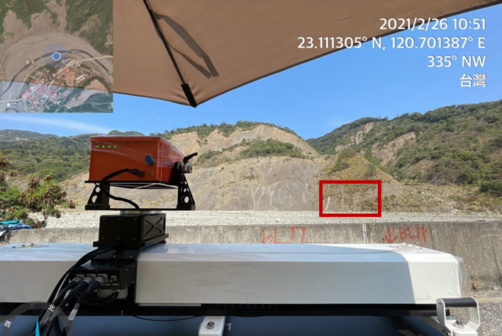
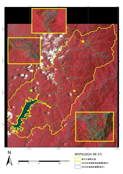
國土利用監測:崩塌地面積判釋(113)
配合國土監測業務,執行 5 座集水區崩塌地面積判釋與統計分析。

National Land · Wetland · GIS
107–108 年度青螺重要濕地(國家級)
生物資源調查及環境監測計畫
國家級重要濕地生態調查,結合 GIS 與遙測技術進行生物資源盤點、 環境變遷分析與長期監測資料建置。
Feasibility
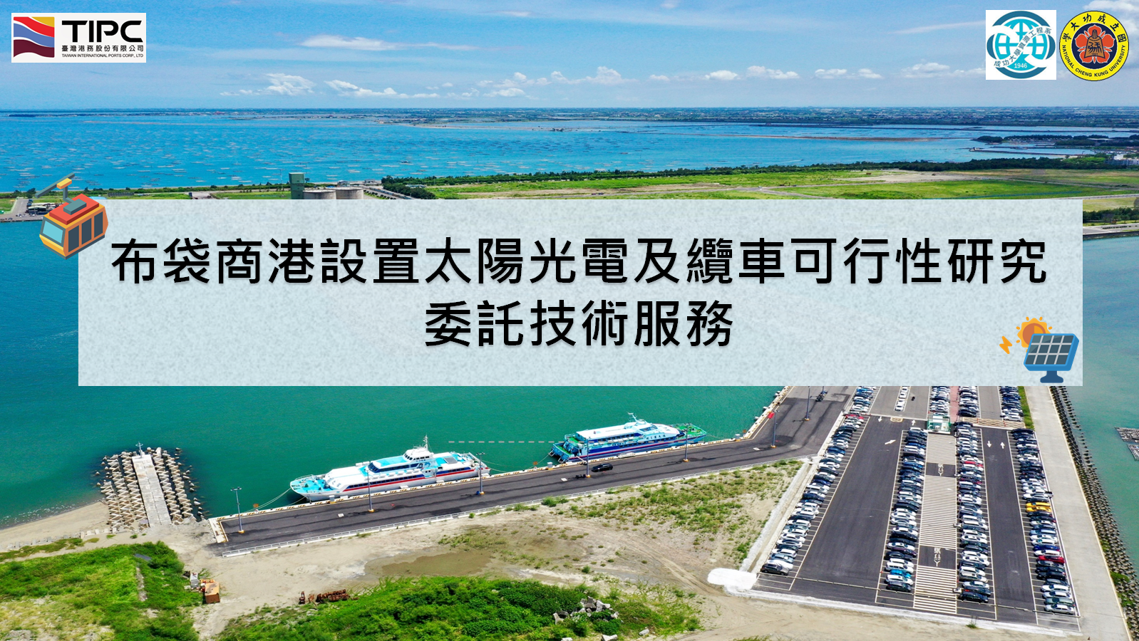
臺灣港務:布袋商港太陽光電與纜車可行性(112)
團隊協作完成可行性分析、方案評估與報告整合。
Coastal Engineering
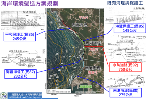
海岸環境營造與防護規劃(107–108)
海岸防護整合規劃、復育規劃與監測資料盤點,支援工程與治理策略。
ARCHIVE
Earlier project experience (selected)
- 104 白河水庫集水區劃設
- 104 湖山水庫集水區劃設
- 105 鯉魚潭水陸域環境調查
- 105 台北港/基隆港/蘇澳港地下管線與 GIS 更新
- 105 臺中港地下管線調查
- 106 港區全域水深測量
- 106 玉山主峰航空攝影